
Walk a Taylorsville Street Parcel by Parcel
A street directory search has a clear order. First normalize the number, direction, street name, and type. Next find the parcel in the county property search. Save the parcel ID, situs address, owner field, mailing address, value or classification, and any exemption indicator. Then open the county map to click nearby parcels. The Recorder can show a document list tied to the parcel, and city or archive records can add permits, code cases, or older property evidence.
This approach is stronger than copying a name from one result. The Assessor is a property roll. The Recorder is a record of instruments. A voter record is a registration record. A directory is a printed snapshot. Each answers a different question about who owns, used, occupied, or once appeared at an address.
- Enter the street name or frontage number in the Salt Lake County Assessor search.
- Sort the like-value results and save each parcel ID for the street segment.
- Compare the situs address with the owner mailing address.
- Open the Assessor Parcel Viewer and identify adjacent parcels.
- Use the Recorder, city, Archives, or library source that fits the date and question.
Which Records Work by Address
Street-level evidence in Taylorsville is spread across records with different keys. The table below keeps the roles distinct. A current owner can be tied to a parcel, while an older occupant may appear only in a directory, newspaper, or census. A property address may also have a duplex range or a changed mailing label.
| Record set | Keeper | Address clue | Access |
|---|---|---|---|
| Assessor parcel | Salt Lake County Assessor | Owner, situs, mailing address, parcel ID | Free search and map |
| GIS parcel map | Assessor and UGRC | Adjacent shape, property class, ZIP attributes | Free viewer, approximate boundaries |
| Deeds, liens, plats | Salt Lake County Recorder | Legal description, instrument, grantor/grantee | Free list, paid images and copies |
| Permits and code cases | Taylorsville or Archives | Project, complaint, or occupancy address | Forms, phone, or GRAMA |
| Historic directories | Library, Archives, Historical Society | Street page and past occupant | Reading room or digitized item |
Use the full Taylorsville previous residents trail when the goal shifts backward through one property. The street directory stays focused on a named street and the present address chain.
Assessor Fields for a Street Search
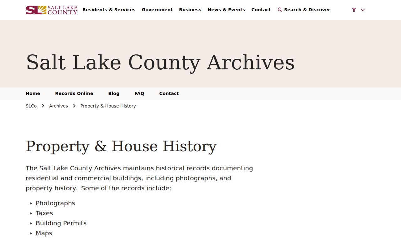
The classic Assessor form is unusually useful for walking a street. Owner search wants at least three starting letters and uses last name, comma, first name. Address search accepts a frontage number, direction, street name or number, and type or direction. A parcel search accepts the first ten digits, and the first seven digits can return a block because the first four identify area or section and the next three identify block.
| Field or control | Format and use |
|---|---|
| Owner | Name search, including last name, comma, first name. |
| Frontage Number | House or street number. |
| Dir. | Directional component. |
| Street Name or Number | Partial or like-value query. |
| Type or Direction | Street type or second directional piece. |
| Parcel Number | First ten digits, or seven for a block view. |
| Search / Reset | Sorts results or clears the form. |
The results are sortable. Keep the exact county spelling, because a street name alone can return a broad set. For a duplex, Salt Lake County Property Watch says a number range may be needed. The physical property address and owner mailing address can differ, so preserve both rather than collapsing them.
The Assessor search interface displays the fields that let a Taylorsville street directory move from a frontage number to a parcel list.
Read the County Parcel Map
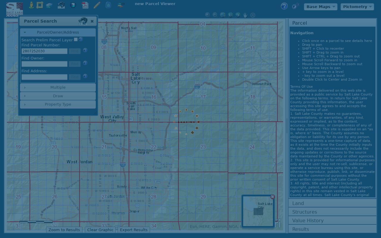
The Salt Lake County Assessor Parcel Viewer accepts Find Parcel Number, Find Owner, and Find Address. It can select more than one parcel, draw a line or polygon, buffer a point or parcel by a distance in feet, switch property types, and identify a parcel with one click. Street Map, aerial, topo, and 2012, 2013, and 2014 imagery choices help compare a place across time. The viewer can export map images, but it limits results to the first 1,000.
Use the map as a navigation aid. The county warns that a one-time capture may not contain later corrections, that data can be incomplete or not current, and that parcel boundaries are approximate. The statewide UGRC parcel layer supplies PARCEL_ID, PARCEL_ADD, PARCEL_CITY, and PARCEL_ZIP attributes. A recorded legal description is still the stronger source for a boundary or title question.
The Taylorsville parcel viewer shows how a street directory can identify adjacent parcels and map layers.
From Parcel ID to a Deed
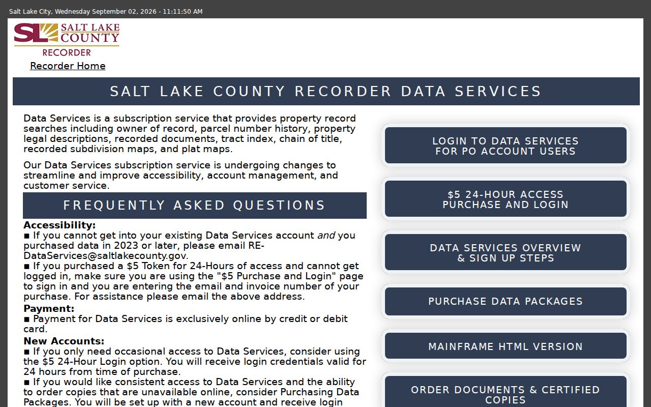
The Recorder’s free Public Search begins with an address or parcel selected from an autocomplete list. It requires agreement to terms and warns that results are informational, may be a day old or more, and do not replace a title search. The free list is useful for spotting document entries. Paid Data Services adds parcel history, legal descriptions, recorded documents, tract indexes, chain of title, plats, and images. Images are typically available the next working day. The $5 small package supplies 150 data units or 24 hours, and continuing packages use purchased units without a time limit.
A copy request is an in-person, mail, email, or online alternative. Give the Recorder document identity, parties, dates, type, and book/page or index location when known. Copies cost $2 per page, historical copies $5 per page, and certification adds $5 plus $2 per page. Military-discharge material and protected identifiers have special limits.
To walk a title trail, start with the latest recorded deed. Note the grantee, who received the property, and grantor, who transferred it. Search the prior owner as a grantee in an earlier entry. Plats, lot and block, subdivision names, tax serials, and legal descriptions bridge a parcel split or a street label that no longer matches.
Permits Put Dates on an Address
Taylorsville’s Building Department publishes current code and plan information, but its forms are not a historical permit index. A city GRAMA request can ask for a narrow address, department, date range, permit number, or project type. Plan review may take up to ten business days, and resubmission resets the review period. Code Enforcement can hold address-linked complaint and abatement evidence, with classification reviewed before release.
County Archives is the older fallback. Application cards from 1948-1969 can be filed by original owner and year and may include architect, contractor, cost, legal description, and project. County permits from about 1970-2019 may show address, inspections, occupancy, water or sewer certificates, and related work. For an incorporated city property, Archives directs researchers to the city planning or building office.
Use Plats When Street Names Shift
A situs address tells where a parcel is now. A plat tells how lots, blocks, roads, and subdivisions were laid out. A legal description can preserve the link when an older file uses a farm name, canal road, ward, or former community label. Taylorsville’s history includes Over Jordan, Taylorsville, and Bennion references before incorporation on July 1, 1996. The reviewed official material did not verify a citywide street-renumbering or renaming year.
Do not fill that gap with a guess. Compare the current parcel, Recorder plat, Archives map or aerial, and city planning geography. The Jordan River, canals, Redwood Road, Murray-Taylorsville Road, and the 4800 South corridor are useful landmarks in the older record trail.
- Parcel
- A county-mapped property unit with an ID and legal description.
- Situs address
- The physical location of the property.
- Plat
- A recorded map showing lots, blocks, and subdivision layout.
- Criss-cross directory
- A historical directory arranged by address or phone instead of only by surname.
Historical Occupants Need a Different Shelf
Post-1924 Polk directories use street or “pink” pages to move from house number to occupant. The Utah History Research Center says spelling variants and alternate terms matter, and newspapers can fill a pre-1924 gap. The County Library offers on-site Ancestry Library, Utah Digital Newspapers, and Utah NewsSearch. A past address may also appear in the Taylorsville city directory collections, which own the detailed historical volume route.
A directory entry can include a name, address, occupation or business, spouse, room or unit, and owner or renter notation when printed. It is a dated snapshot. It can include renters, but skipped years and separate suburban volumes mean that no single book is complete.
The Recorder Data Services page explains the paid and free access levels behind a deeper Taylorsville street directory search.
ZIP Labels Are Not City Lines
Taylorsville appears with ZIP codes 84118, 84123, and 84129 in official and institutional material. Nearby 84119 and 84115 appear in service or border contexts. USPS is the source for an exact deliverable address. Utah UGRC ZIP polygons are approximate, and a November 2025 west-side update improved alignment with county address points without turning a ZIP into a municipal boundary.
A street directory should keep ZIP, postal city, situs, mailing address, parcel, and legal description in separate fields. When a result seems to cross a line, verify with USPS, the Assessor parcel, and the city or county custodian. ZIP geography belongs to the Taylorsville ZIP code directory; street work should stay address-first.
What the Street Directory Cannot Show
An owner record is not a full household list. It may miss renters, guests, children, and other household members. The voter self-lookup is not a browse-by-street tool. DMV residence information is protected under the federal Driver’s Privacy Protection Act and Utah policy, and utility customer lists are not published. Safe at Home and At-Risk protections can withhold address information. City code complaints may also be private, protected, or redacted after review.
Lawful use. Use address records for personal research, family history, civic knowledge, and ordinary safety awareness. Do not use a Taylorsville address to monitor, threaten, stalk, harass, or harm anyone.
If the search fails, ask the custodian for an existing record. Salt Lake County GRAMA requests should name the agency, record type, date range, address or parcel, and preferred inspection or copy format. The usual response is no later than ten business days, subject to the statute and any valid extension.