
Taylorsville’s Three Core ZIP Codes
The official and institutional sources reviewed consistently associate Taylorsville with three postal ZIP codes. Their uses overlap nearby places, so the table uses a conservative rule. A ZIP is included as a Taylorsville postal association, not as proof that every address in that ZIP sits inside the incorporated city.
| ZIP | Areas and usage found | Delivery check | Boundary note |
|---|---|---|---|
| 84118 | Taylorsville, Kearns-side, and western or southern valley references | USPS exact-address lookup | Also used by nearby Kearns and West Valley addresses |
| 84123 | Taylorsville and south-valley references, including a Redwood Road civic address | USPS exact-address lookup | Can reach outside the city line toward Murray and the south valley |
| 84129 | City administrative, local-institution, and central or northwest mailing references | USPS exact-address lookup | City records also preserve older 84118 labels |
| 84119 | Nearby West Valley or utility-service references | Verify each address | Not a core Taylorsville ZIP without parcel confirmation |
| 84115 | Nearby south-valley or state-service material | Verify each address | Do not treat the postal label as city proof |
The best first answer is the actual USPS result for the street address. A city or ZIP name from a document can be a mailing convention, an institutional label, or a neighboring service area.
Use USPS Before Other ZIP Tools
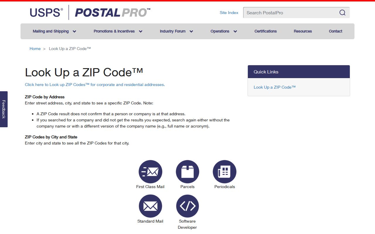
USPS PostalPro provides ZIP Code by Address and ZIP Codes by City and State. The first mode needs the street address, city, and state. The second returns ZIPs associated with a postal city. USPS warns that a ZIP result does not confirm a person or company is at an address. Its AIS Viewer adds City/State, delivery type, county, delivery statistics, ZIP+4 retrieval, and address lookup, with monthly updates and encrypted, non-exportable data.
- Enter the full street address in the USPS address mode.
- Save the returned ZIP and ZIP+4, plus the standardized city and delivery type.
- Compare the address with the Salt Lake County Assessor parcel result.
- Check whether the property falls in Taylorsville city geography or a nearby service area.
- Use a ZIP-capable list only for the narrow question it can answer.
The USPS ZIP lookup is the right first check for a Taylorsville address before reading a ZIP-based directory.
ZIP Polygons Are Approximate
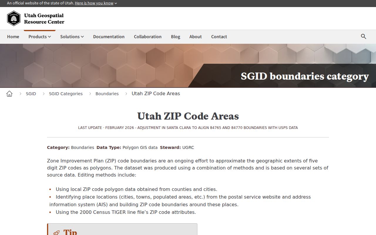
Utah’s Geospatial Resource Center publishes ZIP Code Areas as statewide polygons. The page explains that ZIPs serve mail delivery and do not represent specific geographic boundaries. The polygons are approximations built from county and city areas, USPS or AIS locations, and Census TIGER data. A November 2025 Salt Lake County west-side update improved alignment with address points, followed by a February 2026 statewide update.
The Utah ZIP Code Areas map is useful for visual context. It is not a legal city map, and the Census ZCTA product is another statistical geography with a different purpose. If a ZIP seems to cross a line, trust the exact address and parcel custodian, not the color of a polygon.
The Utah ZIP Code Areas resource shows the maintained approximation behind a Taylorsville ZIP code directory.
- ZIP code
- A postal routing area used by USPS.
- ZIP+4
- An added four-digit delivery segment for a more exact address.
- PO-box ZIP
- A ZIP used for post-office box delivery rather than ordinary street delivery.
- Unique ZIP
- A delivery classification assigned to a special organization or location.
- Carrier route
- A delivery route detail that can appear in address-quality data.
Finding Names Within One ZIP
A ZIP-only search has fewer direct options than a street or name search. The Assessor’s classic form does not expose a main ZIP field. Use address, parcel, or map tools, then read the property ZIP. The public voter self-lookup asks for a person’s name, birth date, street, city, and ZIP, so it cannot browse every voter in a ZIP. County and statewide voter files are subject to Title 20A rules and At-Risk withholding.
Utah NewsSearch can filter newspapers by newspaper, city, county, or ZIP. The Utah Division of Corporations business data request is the clearest ZIP-keyed affiliation route. It can filter entity type, NAICS, ZIP, recent-change date, and status. The output can include business name and address, officers, principals, partners, and registered agents, but business lists do not supply phone or email.
- Use USPS to establish the exact postal ZIP.
- Use the business data request for a business or principal question.
- Use NewsSearch for a historical notice, article, wedding, death, or birth clue.
- Use Assessor or GIS for the parcel and city check.
- Move to the Taylorsville street directory when the ZIP has narrowed the search to an address.
Business Data Has ZIP Filters
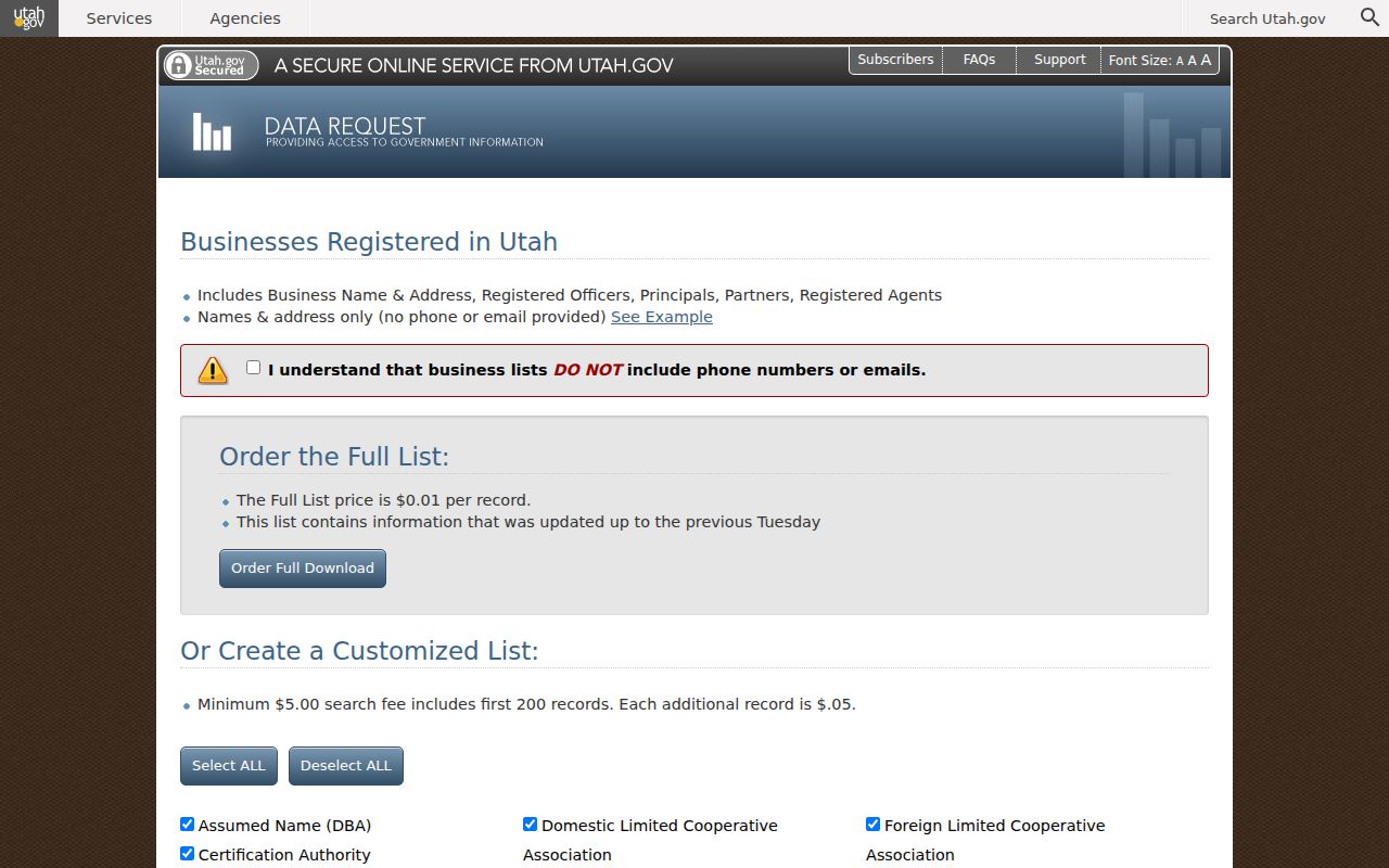
The state business interface lists Entity Type, NAICS codes, ZIP codes, a recent-change or new-registration date window, and status. Choices include active, expired, and inactive. A custom list costs at least $5 for the first 200 records and $0.05 for each additional record; a full list is priced at $0.01 per record. The current-change choices are one month, 31 days, three months, 90 days, and 12 months, 365 days.
That resource belongs in a ZIP code directory when the question is business geography or a principal affiliation. A registered principal search can connect an individual to an entity, while a registered-agent search can show a filing role. Neither result proves a private residence. The Division of Corporations also separates real-property liens from UCC filings, so a real-estate question returns to the county Recorder.
The Utah business data request exposes the ZIP and status controls useful for a Taylorsville ZIP-based business search.
Separate the Three Address Layers
Situs, mailing, and ZIP are related but not interchangeable. Situs or property address locates the physical parcel. Mailing address is where an owner or record recipient receives mail and can be outside Taylorsville. ZIP code supports delivery. A legal description, with plat, lot, block, subdivision, or metes-and-bounds language, is the strongest bridge through old rural records, parcel splits, and changed street labels.
The statewide UGRC parcel data includes PARCEL_ID, PARCEL_ADD, PARCEL_CITY, and PARCEL_ZIP. The county Assessor can add owner and property fields. The Recorder can connect the parcel to a deed, lien, plat, or legal description. If those fields disagree, preserve the disagreement and ask the correct custodian.
84118 Carries a Border Question
84118 appears in Taylorsville and Kearns-side materials, as well as West Valley service contexts. That does not make the ZIP a city boundary. Use the parcel viewer and the city or county source to decide jurisdiction. A postal city can remain unchanged while a municipal line, service district, or neighborhood label differs.
Utility geography can help explain the edge. Taylorsville-Bennion Improvement District serves most of Taylorsville, while Granger-Hunter and Kearns Improvement Districts serve border areas. The city’s public-utilities material does not publish customer names. Service territory is a geography clue, not a resident directory.
84123 and 84129 Need the Same Care
84123 appears in Taylorsville and south-valley health or civic material, including the Redwood Road corridor. It may also occur in Murray or other south-valley contexts. 84129 appears on city administrative and local institutional records, including the state-office campus and library references. City documents also preserve older 84118 labels. These patterns help find an old source, but they do not replace an exact-address check.
A conservative ZIP code directory therefore reports association, then states the limit. Postal identity is not the same as incorporated-place identity. Use USPS, the Assessor parcel, and a city or county record when a mailing label matters to a legal, family-history, or civic question.
ZIP Code Limits Protect People
A public ZIP result or property owner does not prove that a person is at the property. Renters, guests, household members, protected voters, and people using Safe at Home may not appear. Utah DMV records are protected, and utility customer lists are not public. The public voter lookup is identity-based, not a ZIP browse. A no-match result can reflect a rule, an outdated record, or the wrong geography.
Lawful use. Use Taylorsville ZIP information for ordinary personal research, family history, civic questions, and safe record checking. Do not use a ZIP or address result to stalk, monitor, threaten, harass, or harm another person.
If the record is wrong, contact the office that created it. ZIP questions may need USPS, parcel questions the Assessor, recorded instruments the Recorder, voter data Salt Lake County Elections, and city files Taylorsville’s records office.
From ZIP to a Taylorsville Street
Once a ZIP narrows a question, keep the next step precise. Confirm the full USPS address. Save the standardized city and ZIP+4. Check the Assessor for parcel and situs fields. Compare the map and city geography. Then use the Recorder for ownership documents or the city and Archives for permits, plans, and older address evidence. That handoff turns a postal clue into a documented location trail.
ZIP geography is most useful when it stays in its lane. The USPS result answers delivery. UGRC explains approximate shape. Business data and NewsSearch offer ZIP filters. A parcel or deed answers the property question. Historical directories answer who appeared at an address in a selected year.